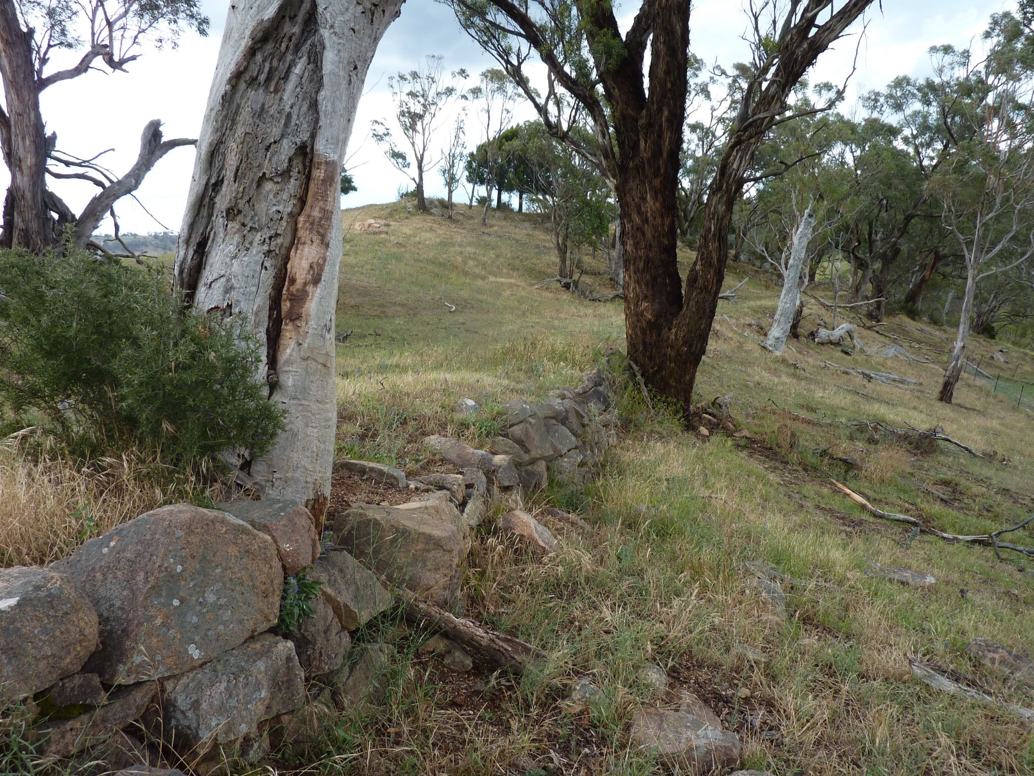
Location:Drive along Cox’s Road from Clover Downs entrance gate via Hampton State Forest for approximately
4.1km and stop at cattle grid with adjacent closed gate with sign ‘Private Road –No Entry’. Walk legally through
the grid entrance along the Crown Road and the extensive dry stone wall buttressing can be seen along the line
of Cox’s Road, prior to its steep descent into the Fish River Valley.
Altitude, Lat/Long:920m AHD; -33.5963, 149.9604
Time required at site: 1hr
Relevance to Cox’s Road:This is the line of Cox’s 1815 Road through to the Fish River crossing. The road
reserve is public accessible land but the land on either side of the road is private land.

Later Added Rock Supporting Walls


