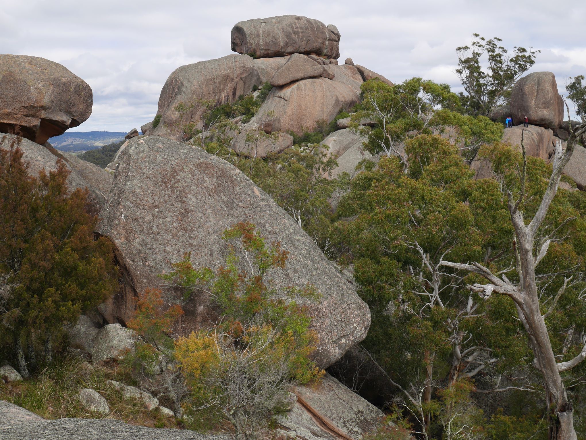
Location:The crest of Evans Crown Nature Reserve: drive from Junction of Rydal-Sodwalls Road and
Honeysuckle Falls Road, drive south about 1.7km to the Reserve’s interpretation pagoda. Follow the trail to the
top of the ridge and the 360° views.
Altitude, Lat/Long:932m AHD; -33.5376, 149.9327
Time required at site:2-3 hrs if climbing to crest of reserve.
Relevance to Cox’s Road:Evans Crown was named by Evans on December 1st 1813, & sketched by Lewin in 1815
from Cox’s Road 4km south of this location. The first view that Evans had of what he would name the Bathurst
Plains was likely from Mount Tarana about 4km north-west of Evans Crown on the 1st December 1813, although
the text is somewhat ambiguous as to which summit he actually climbed.

Evans Crown looking towards the South


