


Location: Likely a few hundred metres east of the junction of Cox’s Road and Honey Suckle Falls Road.
Altitude, Lat/Long: 994m AHD; -33.588913, 149.924337
Time required at site: 30 min – 1hr
Relevance to Cox’s Road:This was the likely location where John Lewin sketched Evans Peak in 1815.
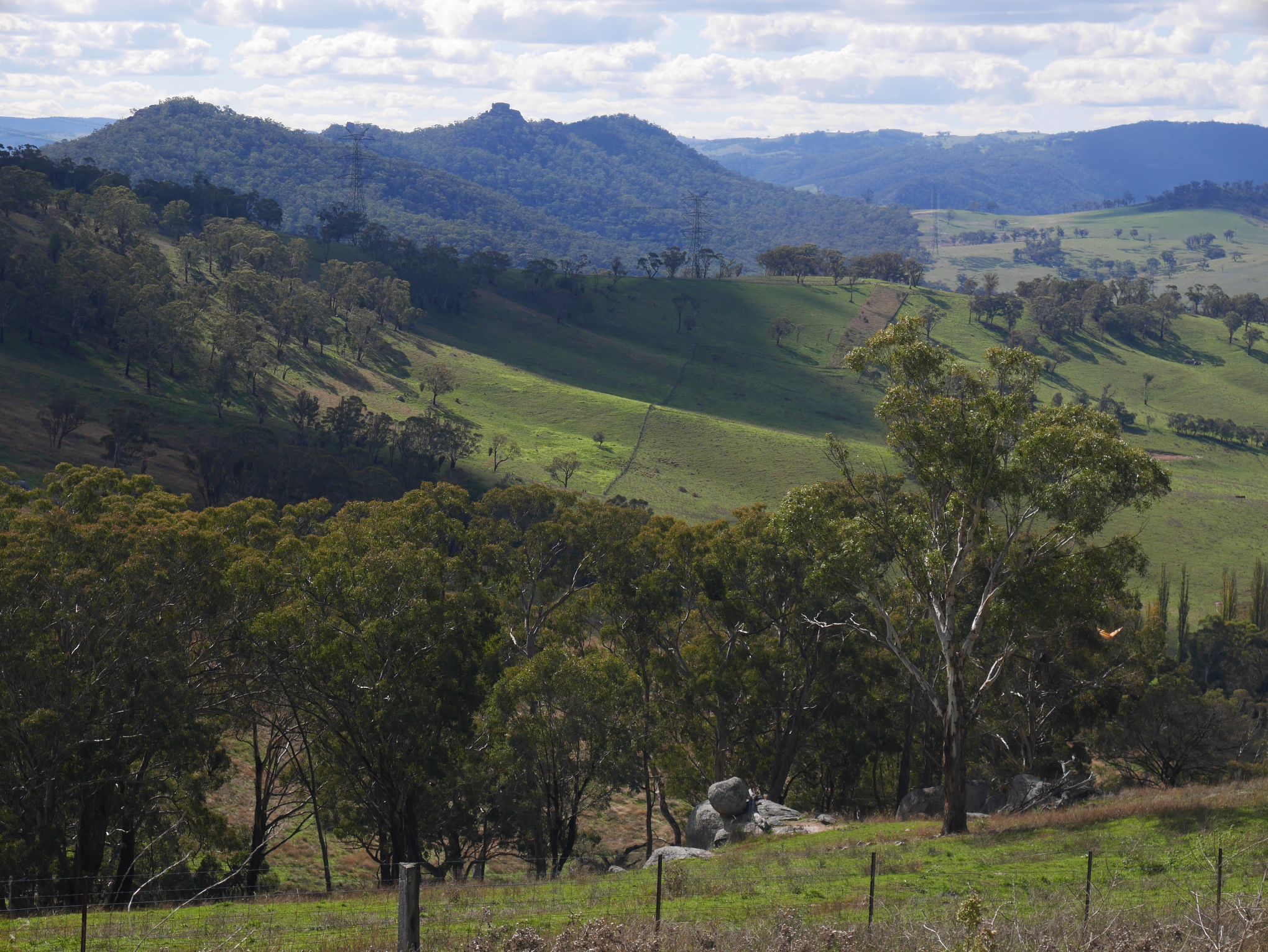
Evans Crown Depicted Similarly to Lewin